Groundwater and landslides in Baja California
How does water below ground affect slope stability? And along which pathways can seawater enter coastal aquifers? Researchers from LIAG and partners from Mexico and Germany investigated these questions during two field campaigns on Mexico’s Baja California peninsula. The campaigns also marked the first successful field deployment of LIAG’s new sTEM measurement system.
Successful field campaign with a new measurement system
Two field campaigns, two pressing challenges and a successful debut for new LIAG measurement technology: in late June and early July 2026, researchers from LIAG and partners from Mexico and Germany investigated the subsurface of Mexico’s Baja California peninsula. Their work focused on protecting limited groundwater resources and investigating landslides.
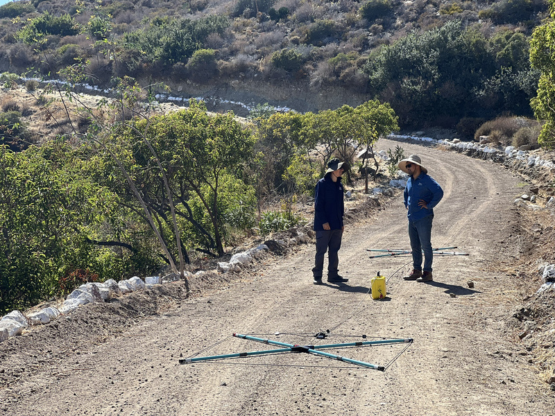
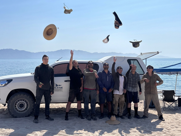
The partners involved were the Centro de Investigación Científica y de Educación Superior de Ensenada (CICESE) and the Institute of Geophysics and Meteorology at the University of Cologne. Master’s and doctoral students from CICESE also took part in the fieldwork. At two sites, the team used radio-magnetotellurics and transient electromagnetics. These electromagnetic methods allow researchers to investigate the electrical properties of the subsurface and draw inferences about geological structures and the distribution of water.
The two campaigns bring together LIAG’s research themes of geohazards and groundwater systems. Water below ground is more than a vital resource: its distribution can also affect slope stability.
What makes a slope unstable?
North of Ensenada, the team investigated an active landslide area. The measurements aim to characterise the geological structure and water distribution in the subsurface. Both factors can have a decisive influence on slope stability.
Water can, for example, enter permeable layers, fractures or other geological structures. The geophysical measurements are therefore intended to help identify these structures and potential water-bearing zones. This will provide a basis for investigating more closely which conditions favour slope instability.
The project also takes the methodology a step further: the geophysical subsurface models are to be coupled with numerical landslide models. This will allow information on geological structures and water distribution to be incorporated directly into the modelling of slope instability.
Saltwater in coastal aquifers
In the south of the peninsula, the investigations focused on coastal aquifers. Freshwater resources are limited in Baja California’s arid regions. At the same time, groundwater abstraction from coastal aquifers can cause seawater to intrude into them.
The measurements are intended to help identify saltwater intrusion and preferential pathways for seawater flow through the subsurface. The findings could improve understanding of these groundwater systems and provide an important basis for the long-term protection of scarce freshwater resources in arid coastal regions.
First field deployment of the new sTEM system
A particular milestone of the campaigns was the first successful field deployment of LIAG’s new sTEM system. The measurement system performed well under field conditions and delivered high-quality datasets.
Analysis of the measurement data is now continuing, and initial inversion results are already available. Inversion is a computational process that converts data collected in the field into a model of the electrical properties of the subsurface. These initial models provide the basis for detailed interpretation and future joint research projects.